
One base. Options that combine.
A twin that grows with the decision.
Every twin starts from the same context model and web explorer. Options are independent modules you add in any order, so a site study can stay small and a city twin can run everything, live. This page lists what is in the base, what the twin can do, and how it gets built and delivered.
The context model and web explorer.
A georeferenced base in a stated CRS, cleaned from GIS, open data and whatever you already hold, served as a web explorer anyone can open from a link. Everything else sits on top of it.
- Context layers. Terrain, building footprints with heights, parcels, transport networks and planning constraints, in EPSG:27700 for UK work or the CRS you state.
- Site or scheme massing. Your masterplan or a first capacity model placed on the base, with GFA, coverage and mix reported.
- Web explorer. Layers, storylines and points of interest, no install, any device, hosted on your domain or ours.
- Custom markers and icons matching your brand or the authority's map style.
- Feedback endpoint wired to the mailbox you nominate.
- Full handover. The model, the data and the site archive are yours. No third-party lock-in.
Two production pathways.
From what you already hold
You have GIS, a BIM or Rhino model, a masterplan drawing set or existing renders. We georeference and clean them into the base and build the explorer around them.
- IFC · RVT · 3DM · DWG · SKP
- GeoJSON · GPKG · SHP · CityGML
- Point clouds · photogrammetry · 3D Tiles
- First twin in 3 to 6 weeks
From a boundary and open data
No model yet. Send a site boundary and the question. We assemble context from OS, OSM, LiDAR, planning portals and operator feeds, then generate the first massing options with you.
- Red-line PDF · GeoJSON · DXF boundary
- OS Open · OSM · Environment Agency LiDAR
- Council GIS · planning portal · TfGM feeds
- First twin in 4 to 8 weeks
What the twin can do.
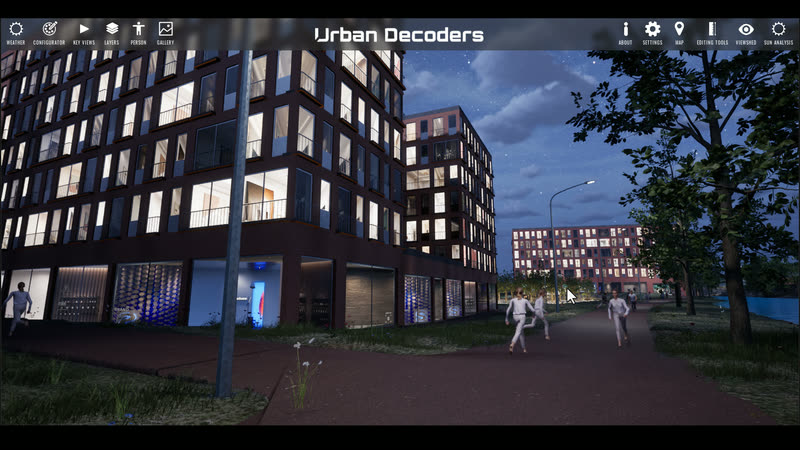
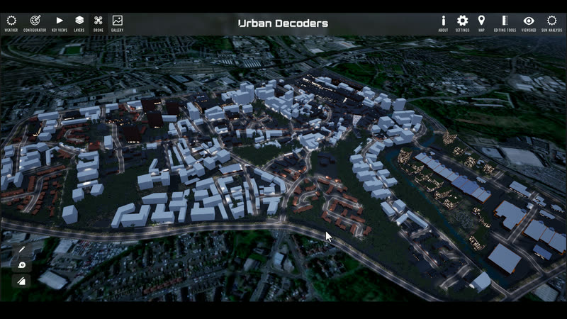
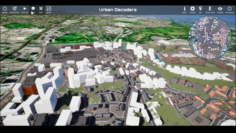
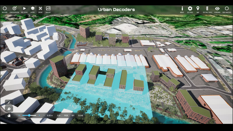
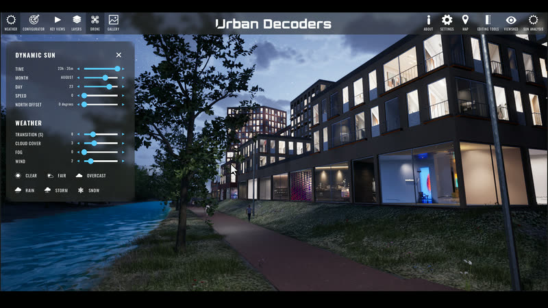
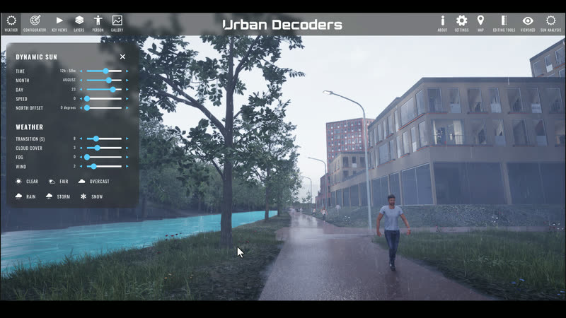
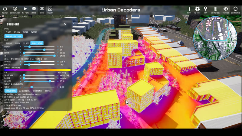
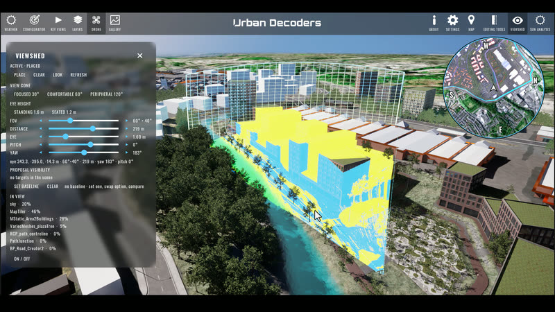
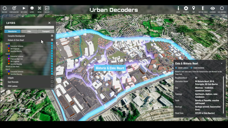
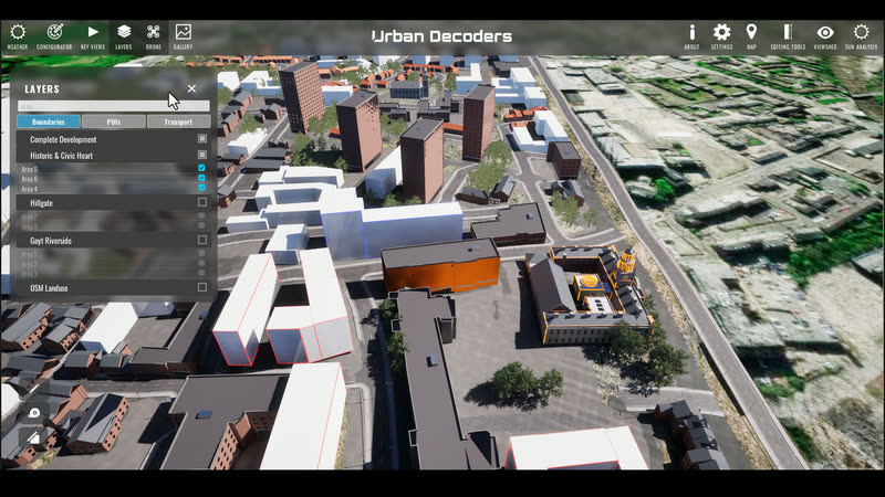
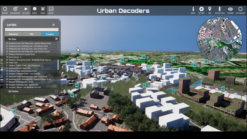
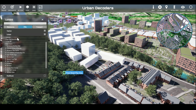
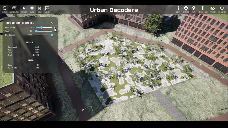
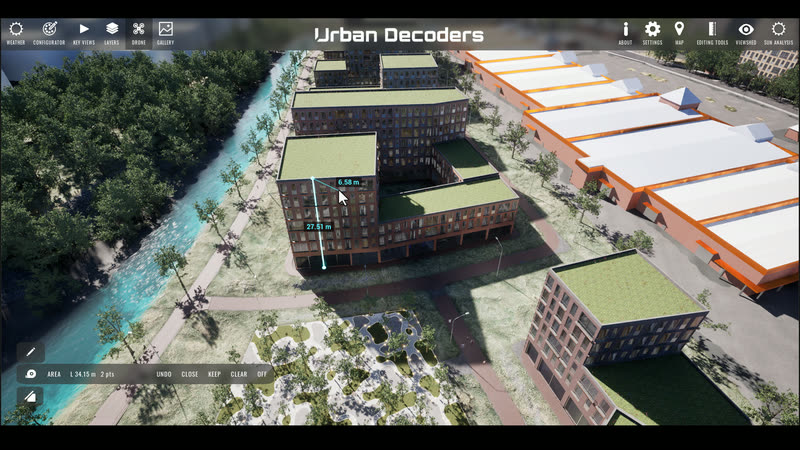
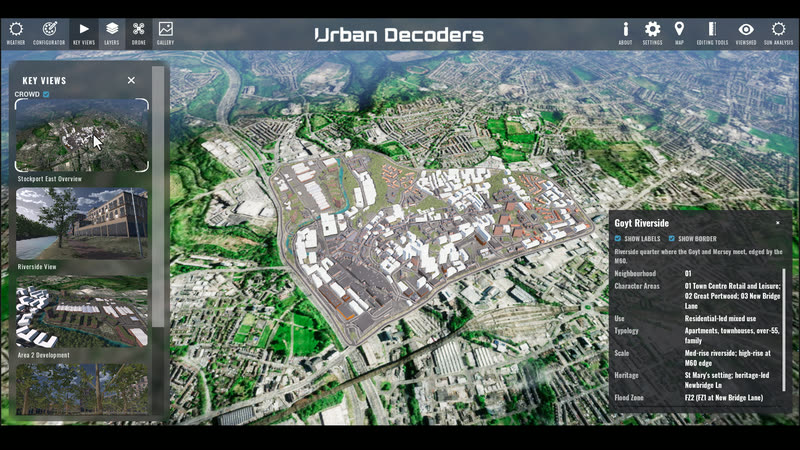
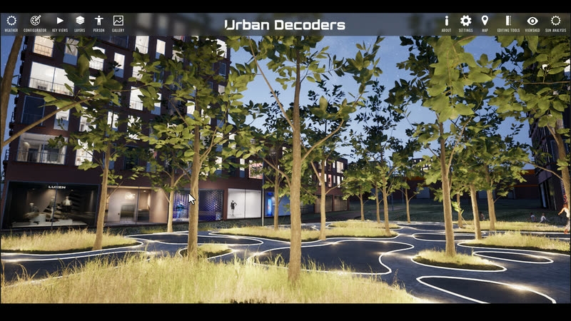
Sixteen tools that ship inside the explorer, each recorded in our Stockport East twin. Hover a tile to play it. Every tool runs on the same georeferenced base, so a measurement, a shadow and a bus route all agree.
From a committee screen to an exhibition booth.
One link. Opens in any browser on any device, no install, works on slow connections.
Driven live in the room or over Teams, so the officer can answer the question by moving the model.
A large touch surface for consultation events, exhibitions and visitor centres.
VR for launches and public events. An operations wall for the place once it runs.
Scope your twin in a minute.
Set the extent and the layers. You get a tier, an indicative timeline and the modules involved. No prices, because the price follows the scoping call.
Tiers: Site under 5 ha, District to 100 ha, City above. Timelines are bands for a first working twin, not a delivery programme.
The model, the cleaned data and the site archive are handed over. Host it with us, on your own domain, or inside the authority's estate.
CCTV is processed to anonymised counts, never faces. Every feed sits under the data owner's terms. Built for public-sector procurement, security review and audit.
A maintenance agreement keeps the twin synced to the plan and the feeds after launch, so it never drifts from the thing it represents.
Send us a site boundary. We'll send back a scope.
A GeoJSON, a DXF or a red-line PDF is enough to start. We come back with a tier, a timeline and the layers your decision needs.